Connected Skies
Autonomous Aviation Connectivity
ClearSky is a leader in connectivity solutions for autonomous aviation over large-scale infrastructure
Connected Skies help transform energy infrastructure to digital assets
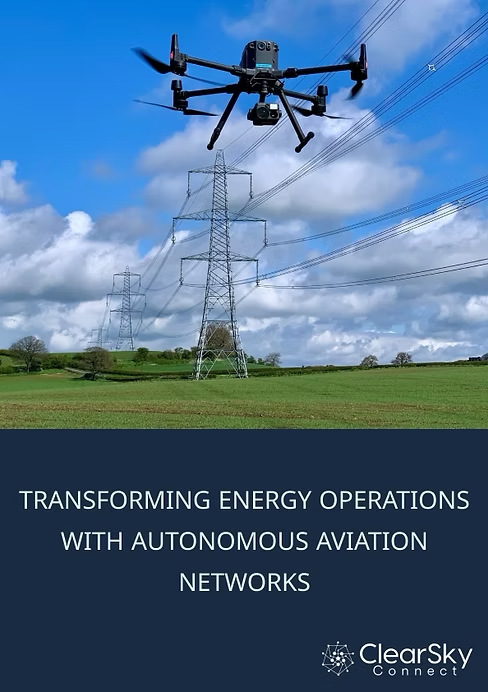
Drones are transforming the energy sector by digitizing critical infrastructure management in oil & gas, renewables, and utilities. By replacing costly methods like helicopters and manual inspections, autonomous drones enable faster, more frequent, and precise monitoring, reducing downtime and operational costs.
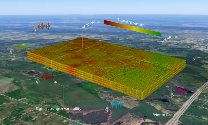
This transformation relies on robust connectivity to support real-time data transmission and seamless operations. Enhanced network performance is essential to unlock the full potential of drones, ensuring efficient, data-driven infrastructure management and accelerating the shift to a fully digitalized energy ecosystem that answers the question, "What Happens When...?"

ClearSky SPAN Scales Autonomy
Our SafePath Aviation Network (SPAN) utilizes both cellular and satellite connectivity to facilitate Beyond Visual Line of Sight (BVLOS) operations, even in remote and challenging environments helping infrastructure enterprises scale autonomous operations, reduce costs, and achieve unmatched accuracy in infrastructure maintenance.
Energy and Autonomous Aviation
Energy infrastructure monitoring, inspection and response can leverage autonomous aviation in many areas, supporting efforts for day-to-day operational efficiency as well as enhanced response in times of infrastructure disruption. ClearSky has leveraged work it has done with response organizations and regulators to offer industry-tailored solutions for scale-up of autonomous operations.
Public Safety and Autonomous Aviation
Autonomous aviation networks, particularly those integrating cellular-enabled drones, offer a transformative solution to public safety agencies by enabling quick, efficient and scalable responses to rapidly changing emergency conditions.
Contact us for further information.